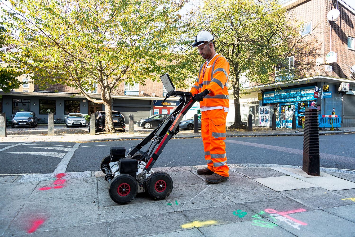
Out of all companies, KB GPR Surveys conducts Ground Penetrating Radar (GPR) Surveys methodically. Only the best GPR surveyors are capable of providing comprehensive and quality surveys. Know more about the rewards of hiring them by reading the following sections.
Applicable to different floor coverings
GPR can be used on different floor coverings. The results may not always be satisfactory, especially when used on natural stone slabs or tiles. The tiles often contain quartz, which can interfere with the radar waves. The plastic film in the insulating layers, metal screens in soil systems and air layers in multilayer structures are also factors that can cause reductions in the power measurement or limit the depth measurement range.
Find lost graves
Using GPR, surveyors can locate known marked, unmarked, and lost graves in cemeteries. Some cemeteries are hundreds of years old, and unmarked graves can be common. Misplaced or poorly located headstones or markers can further complicate matters. Moreover, records are often vague, lost, destroyed, or incomplete, and there may be questions about the precise extent of a cemetery. There is often no surface expression of the burial location, and graves become lost.
Due to the sensitivity of these sites, the challenge is to explore the subsurface without disturbing the soil and burials. GPR is the only viable non-destructive method used for grave detection. During the grave detection survey, GPR surveyors will mark the location of detected graves on the ground with a paint line down the centre axis of the grave for the length of the grave.
GPR surveys UK wide that are done on cemeteries are non-intrusive and are ideal for locating cemeteries and for unmarked grave detection. The surveyors will utilise GPR to detect many elements that aid in identifying burial sites, including the coffin or casket (wood, metal, lead-lined, etc.) or vault, disturbed ground structure and excavation features, and movement or voids produced by the collapse of the coffin or casket.
Looking at underground tunnels
Using state of the art GPR equipment, you can look at the quality deterioration inside and above the tunnel. That becomes useful information about safety inside a tunnel, and it is a highly effective tool. GPR surveys UK wide can identify the hidden construction shafts, the condition of the lining, and the voids can be made into a safer and cost-effective solution. Radar has become one of the most well-established techniques for rapid data acquisition. You may confidently study tunnels, masonry tunnel lining, and concrete tunnel lining with the technology since the Concrete Imaging System allows you to scan the data securely and provide the information in real-time.
Get an accurate environmental assessment
One of the interesting ways GPR has been used is to give an environmental assessment. For example, you can look at the soil and potential contamination. With GPR survey services, you can scan a large area of soil to detect the different sediment layers. These are only some of the applications that can be used with GPR. Suppose you have a project that requires GPR. In that case, you may contact an expert surveyor that specialises in providing state-of-the-art services in your area.
Used on archaeological sites
Before even starting to scan, it is critical that GPR surveyors obtain as much information as possible about the site. They will seek out any historical maps and make sure they have access to the results of walkover surveys showing concentrations of archaeological features and artefact density. GPR surveyors will most likely have an idea of what researchers expect the GPR to show them to get a sense of what they should be looking for.
As part of this information gathering, GPR surveyors will work closely with researchers, who must pay close attention to the landscape. They could be at the side of a mountain where it may be difficult to access. Or they may be working either in a place clear of vegetation or densely vegetated. Nevertheless, their GPR equipment needs to be pushed in a straight line. The antenna sits on the ground, so if a site is overly vegetated, it must be cleared before conducting a GPR survey.
Essentially, anything one would not want to go over with a lawnmower would also be difficult for GPR equipment. GPR survey services gauge the periods consumed during investigations results from the initial archaeological investigation and the density of archaeological features to be mapped.
GPR surveyors can use several different methods for data collection. The right candidates can be discovered by getting referrals from trusted colleagues. It would also be practical to take the time to do some online research.