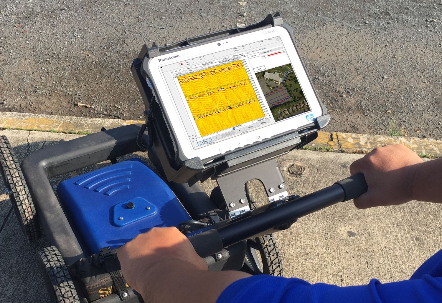
Not every day you hear GPR, but it doesn't mean it is not that crucial. It may even be more important than you think. Ground Penetrating Radar (GPR) is a remote sensing technique that uses electromagnetic radiation to image the earth's subsurface. GPR Surveyors utilise this tool in different applications and, in this article, you will learn more about these applications.
Find lost graves
GPR can be used by GPR Surveyors to find known, unmarked, and lost graves in cemeteries. Some cemeteries are hundreds of years old, and there may be a high number of unidentified burials. Headstones or markers that have been misplaced or placed incorrectly might worsen the situation. Furthermore, records are frequently vague, destroyed, or missing, and there may be uncertainty about the precise area. There is often no visible surface indication of the burial place, and graves fade away.
Because of the sensitivity of these sites, we must find them without disturbing the soil and graves. GPR is the only viable non-destructive technique for detecting graves. During the grave detection survey, GPR researchers will draw a paint line down the centre axis of each discovered burial site for the length of the grave.
Uncovering unmarked graves is simple with Ground Penetrating Radar (GPR). They are also non-intrusive, ideal for locating cemeteries and finding unvisited graves. Surveyors will use GPR to find a variety of characteristics that aid in the identification of burial, such as the coffin or casket (wood, metal, lead-lined, etc.), vault, disturbed ground structure and excavation features, and movements or voids produced by the coffin or casket's collapse.
Looking at underground tunnels
Cutting-edge GPR surveys technology may be used to assess the quality deterioration of a tunnel's walls and ceiling. This is critical information for tunnel safety and a highly effective tool. Construction shafts, line conditions, and void conditions can all be detected with GPR. The Concrete Imaging System is a high-tech, direct reading radar technology that has become one of the most popular methods for rapid data acquisition. You can examine tunnels, masonry tunnel lining, and concrete tunnel lining confidently using this system. This is possible because it allows you to scan data securely and display the results in real-time.
Get an accurate environmental assessment
One of the more intriguing applications for GPR scanning has been to do an environmental study. For example, you may examine the soils and assess their risk of contamination. You can use ground-penetrating radar to scan a large soil area and identify the distinct sediment layers. There are several more applications that may be used with GPR. Suppose you have a project that needs GPR. In that case, you can hire a professional surveyor who specialises in offering cutting-edge services in your area.
Inspect bridges
GPR utility survey can be useful for bridge inspection. Budgeting is a good example of when the technique would be beneficial. GPR data is also quantitative, unlike acoustic data, which is subjective. A cart-based system – which may include an antenna and controller – is typically employed to gather data at a walking speed. The radar technology looks for flaws in the returning signal from the reinforcement steel; the smaller the signal, the more damaged the concrete. The system can display information about rebar, tie bars, dowel bars, and their position and depth.
Used for quality assurance
GPR surveys can be used to check for cracks and voids in a new bridge deck and measure the depth of the rebar. Concrete cover measurements are often taken after pouring concrete onto a bridge deck to verify that the top rebar mat is at the required depth range in the bridge plans. To obtain the measurements, a ground-coupled antenna is used to record the arrival time of the rebar reflections along one or more profile lines. After that, the core depth is measured at one of the rebar locations with a drill. This will be entered into the processing software, which calculates the radar wave velocity and uses it to obtain depths for rebar at other spots along the data-collection profile line.
Suppose you think about the capabilities of GPR surveyors. In that case, it's easy to realise how Ground Penetrating Radars will continue to be a necessary tool for construction businesses. They save time and money while still complying with regulations. If you want to learn more about how GPR might benefit your next project, don't forget to contact a reputable GPR surveyor when planning for your next project.