In today's world, where imagery and video play a key role in conveying architectural concepts, the use of drone architectural video has become a creative and transformative tool. No longer is it enough to rely on paper designs or 3D modeling software; drones enable architects, urban designers, and even investors to evaluate, analyze, and present their projects from an entirely new angle. The aerial view offered by drones not only reveals fresh perspectives on space, form, and texture but also turns architecture into a cinematic and sensory experience.
Telling Architectural Stories from Above
Before drones entered the field of architectural photography and videography, most images were captured from ground level or limited perspectives. However, with the advent of low-altitude flights using drones equipped with 4K and even 8K cameras, it is now possible to view the details of a building or an entire urban project with extraordinary precision. These aerial visuals offer a perspective that is both artistic and analytical.
For example, in the design of a residential complex, drone architectural video can clearly depict how buildings interact with green spaces, pedestrian pathways, sunlight exposure, and even distant views. This information is extremely valuable for designers and investors looking to optimize plans and attract audiences.
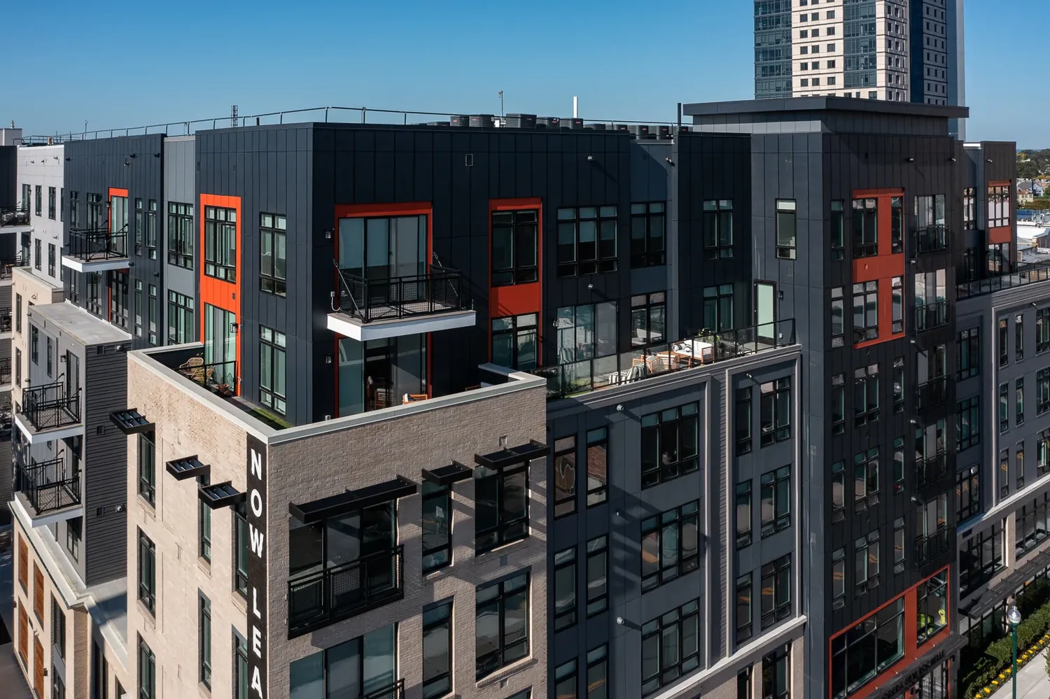
Rethinking the Relationship Between Space and Environment
One of the major advantages of using drone photography and videography in architecture is the ability to examine the relationship between structures and their surrounding environment. Since such relationships cannot be fully understood from ground-level views, aerial footage offers a different narrative of design. In fact, these perspectives reveal hidden layers of spatial interaction—from how a building sits within the land’s topography to how it relates to natural elements like trees, rivers, or mountains.
Moreover, for projects located in dense urban fabrics, drones can show street grid patterns, construction density, positioning of public and private spaces, and even the impact of building shadows on the surrounding structures. These types of analyses are highly practical during the design and redesign phases.
Impact in Professional Presentations
Today, many architectural firms, engineering offices, and design studios use drone architectural video for professional and promotional presentations. These videos can introduce projects in a new and compelling way for clients and investors. In a competitive architectural market, having high-quality aerial footage can make a significant difference in capturing attention.
Even in architecture competitions or design exhibitions, aerial videos allow audiences to gain a deep understanding of space, building orientation, design geometry, and internal and external connections—without needing to study technical drawings. In other words, drones simplify and enhance the visual communication between designer and viewer.
Documenting Construction and Progress
Another key application of drones in architecture is documenting the construction process. Recording step-by-step phases of execution through aerial photos and videos not only helps architects and engineers analyze and evaluate the project but also serves as an official record for project management, quality control, and reporting.
These records are especially important in large or government-funded projects, particularly civil and urban developments, as decision-makers can monitor progress remotely through aerial videos without needing to visit the site in person.
Merging Art and Technology
The use of drones in architectural photography and videography isn’t limited to technical functions. Many aerial architectural photographers approach their craft with an artistic vision. Choosing flight angles, types of lighting, time of day (such as sunrise or sunset), and editing techniques all play a role in creating compelling and impactful visuals.
In some cases, aerial images and videos are so beautiful and unique that they are displayed as artwork in exhibitions or visual media. This fusion of art and technology has transformed architecture into a universally comprehensible visual experience.
The Future of Aerial Photography in Architecture
With the rapid advancement of drone technology, the future of aerial photography and videography in architecture looks very promising. Improved camera quality, ability to fly in various weather conditions, smart editing software, and even artificial intelligence for identifying design elements—all signal a new era of architectural visualization.
In the future, it's even possible that, through virtual reality and 360-degree aerial videos, viewers can interactively explore a project space, moving from top to bottom as if visiting the site in person.
Conclusion
The rise of drone technology and the emergence of drone architectural video have proven that architecture is not just about designing space, but also about visually narrating it. This narrative is no longer limited to plans and elevations but is now told from the sky—where form, light, texture, and environmental relationships are presented in a cinematic and inspiring view. On this journey, architects, designers, and visual storytellers can use flight to redefine architecture and offer a fresh visual experience of space to their audiences.