In today’s fast-paced infrastructure and industrial landscape, drone survey services are revolutionizing how businesses collect, analyze, and act on geospatial data. From construction and mining to agriculture and urban planning, drones are enabling faster, safer, and more accurate surveys than traditional methods.
At the forefront of this transformation is Aeroyantra Technologies Private Limited, a cutting-edge geospatial intelligence company delivering AI-powered drone surveying solutions designed for speed, precision, and scalability.
What Are Drone Survey Services?
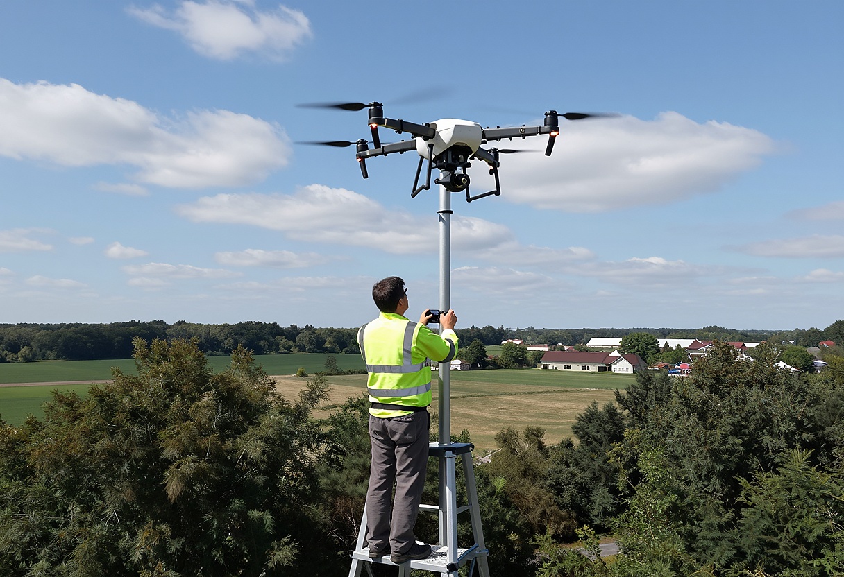
Drone survey services involve the use of unmanned aerial vehicles (UAVs) equipped with high-resolution cameras, LiDAR sensors, or multispectral imaging systems to capture aerial data. This data is then processed into actionable outputs such as:
- Orthomosaic maps
- 3D models and digital twins
- Contour maps
- Volume calculations
- Elevation models
Unlike traditional surveying techniques, drone surveys can cover large areas in a fraction of the time while maintaining high accuracy.
Aeroyantra’s cloud-based platform processes drone imagery into high-precision maps and 3D models with same-day reporting capabilities, significantly reducing project timelines. (Aeroyantra)
Why Drone Survey Services Are the Future
1. Speed and Efficiency
Traditional surveying methods can take days or even weeks. Drone surveys, however, can capture data in hours and deliver results within the same day.
Aeroyantra has demonstrated the ability to reduce survey cycles from 5 days to just one morning, showcasing the power of automation and cloud processing. (Aeroyantra)
2. High Accuracy and Precision
Modern drone survey services deliver centimeter-level accuracy. Aeroyantra’s proprietary technology achieves up to 1 cm precision, making it suitable for professional-grade applications. (Aeroyantra)
3. Cost-Effective Solutions
Drone surveys eliminate the need for large field teams and expensive equipment setups. With cloud-based processing, companies avoid heavy investments in hardware and software.
4. Improved Safety
Surveying hazardous environments such as mines, construction sites, or disaster zones becomes significantly safer when drones are used instead of human surveyors.
5. Real-Time Insights
Drone data can be processed quickly to provide real-time insights, enabling faster decision-making and improved project management.
How Drone Survey Services Work
Drone surveying follows a structured workflow:
Step 1: Flight Planning
Surveyors plan the drone’s flight path based on terrain, area size, and required resolution.
Step 2: Data Capture
The drone captures high-resolution images or LiDAR data across the survey area.
Step 3: Data Processing
Platforms like Aeroyantra use AI-powered photogrammetry to convert raw images into usable outputs such as maps and 3D models.
Step 4: Analysis & Reporting
Processed data is analyzed to generate insights like volume calculations, progress tracking, and compliance reports.
Aeroyantra simplifies this workflow into “Fly. Compute. Decide.”, making complex surveying processes accessible and efficient. (LinkedIn)
Key Applications of Drone Survey Services
1. Construction and Infrastructure
Drone surveys help monitor construction progress, calculate earthwork volumes, and ensure compliance with design specifications.
- Progress tracking
- Site planning
- Cut & fill analysis
2. Mining and Quarrying
In mining, drone surveys are essential for:
- Stockpile volume measurement
- Site safety monitoring
- Regulatory compliance
Aeroyantra enables the creation of high-accuracy digital twins of entire mining sites, improving efficiency and profitability. (Aeroyantra)
3. Agriculture
Drone survey services are transforming agriculture through precision farming:
- Crop health monitoring
- Soil analysis
- Yield prediction
Aeroyantra converts drone data into actionable field intelligence for crop management, helping farmers optimize resources and improve productivity. (Aeroyantra)
4. Land Surveying and Urban Planning
Drones provide accurate topographical data for:
- Land development
- Infrastructure planning
- GIS mapping
5. Environmental Monitoring
Drone surveys are used for:
- Forest mapping
- Flood assessment
- Disaster management
Technologies Behind Drone Survey Services
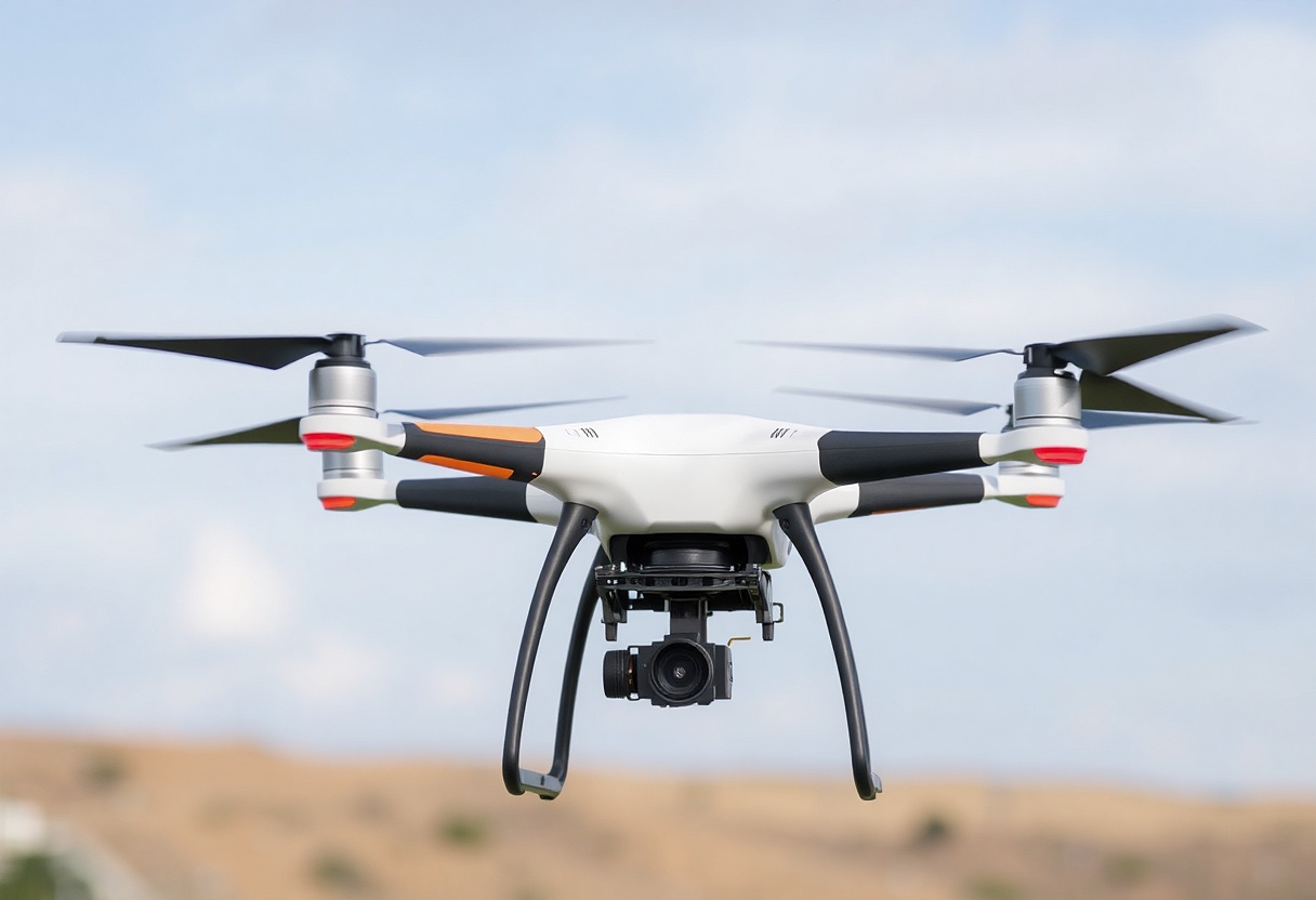
Photogrammetry
Photogrammetry involves stitching multiple images together to create accurate maps and 3D models. Aeroyantra’s platform supports advanced photogrammetry workflows with multiple export formats including GeoTIFF, LAS, and OBJ. (Aeroyantra)
LiDAR
LiDAR uses laser pulses to measure distances and create precise elevation models, especially useful in areas with vegetation or complex terrain.
AI and Cloud Processing
Aeroyantra’s cloud-based system leverages AI to automate data processing, ensuring consistent and reliable outputs without requiring high-end hardware.
Why Choose Aeroyantra for Drone Survey Services?
1. AI-Powered Automation
Aeroyantra eliminates manual processing, allowing users to focus on insights rather than workflows.
2. Survey-Grade Accuracy
With up to 1 cm precision, Aeroyantra meets the highest industry standards.
3. Cost Efficiency
Its pay-as-you-go model makes advanced drone surveying accessible to businesses of all sizes.
4. Fast Turnaround
Processing is completed within hours, enabling same-day decision-making.
5. All-in-One Platform
Aeroyantra combines photogrammetry, LiDAR processing, and analytics into a single platform.
Challenges in Drone Survey Services
While drone surveys offer numerous advantages, there are some challenges:
- Regulatory approvals (DGCA compliance in India)
- Weather dependency
- Data management for large-scale projects
- Need for skilled operators
However, platforms like Aeroyantra are addressing these challenges through automation, cloud computing, and standardized workflows.
The Future of Drone Survey Services
The future of drone survey services is driven by:
- AI-powered analytics
- Integration with GIS and BIM systems
- Autonomous drone operations
- Real-time data streaming
As industries continue to digitize, drone surveys will become an essential tool for data-driven decision-making.
Aeroyantra aims to become a global standard for drone-based geospatial intelligence, making professional surveying accessible worldwide. (Aeroyantra)
Conclusion
Drone survey services are no longer a luxury—they are a necessity for industries seeking efficiency, accuracy, and scalability. By replacing traditional methods with advanced aerial data capture and AI-powered processing, businesses can unlock new levels of productivity and insight.
With innovative solutions from Aeroyantra Technologies Private Limited, organizations can confidently embrace the future of surveying—faster, smarter, and more precise than ever before.
FAQs: Drone Survey Services
1. What are drone survey services used for?
Drone survey services are used for mapping, land surveying, construction monitoring, mining analysis, agriculture, and environmental studies.
2. How accurate are drone surveys?
Modern drone surveys can achieve centimeter-level accuracy, especially when combined with technologies like RTK, PPK, and ground control points.
3. Are drone surveys better than traditional surveys?
Yes, drone surveys are faster, safer, and often more cost-effective while delivering comparable or better accuracy for many applications.
4. How long does a drone survey take?
Data collection can take a few hours, and processing can be completed within the same day using cloud-based platforms like Aeroyantra.
5. What industries benefit from drone survey services?
Industries such as construction, mining, agriculture, real estate, and infrastructure development benefit significantly from drone surveys.
6. What outputs can I get from a drone survey?
You can get orthomosaic maps, 3D models, elevation data, volume reports, and GIS-compatible files.
7. Is drone surveying expensive?
Drone surveying is generally more cost-effective than traditional methods due to reduced manpower and faster turnaround times.
8. Do drone surveys require special permissions in India?
Yes, drone operations in India require compliance with DGCA regulations and necessary approvals through the Digital Sky platform.